Paying Tolls on Bay Area Bridges
Learn the different ways to pay at state-owned bridges and the Golden Gate Bridge.
Image
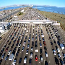
The San Francisco Bay Area is home to eight toll bridges, including seven state-owned bridges and the Golden Gate Bridge. All bridges use all-electronic tolling—no cash is accepted. Explore each bridge and find out how to pay your tolls quickly and easily.
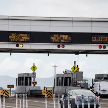
There are 8 toll bridges in the San Francisco Bay Area. The Golden Gate Bridge Highway and Transportation District collects tolls on the Golden Gate Bridge, and the Bay Area Toll Authority (BATA) collects tolls on the 7 state-owned toll bridges. All bridge tolls are collected electronically and there are no toll takers on bridges. Drivers are charged either through the FasTrak system or by receiving an invoice in the mail. See more information about all-electronic tolling and getting FasTrak (the best way to pay). Or call 877-BAY-TOLL.
As of January 1, 2026 the carpool requirements have changed on all Bay Area bridges except the Bay Bridge and Golden Gate Bridge. Visit GetFasTrak.org to learn more about the new carpool rules.
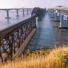
The Antioch Bridge on State Route 160 is the only bridge to reach outside the nine-county Bay Area. The bridge arches over the San Joaquin River, connecting Antioch in northeastern Contra Costa County to Sacramento County. The Antioch Bridge also provides bicycle and pedestrian access. All tolls are collected electronically in the eastbound direction.
The Benicia-Martinez Bridge (George Miller Jr. Bridge) crosses the Carquinez Strait on I-680, linking Benicia in Solano County with Martinez in Contra Costa County. The bridge features parallel spans for northbound and southbound traffic and provides separated bicycle and pedestrian access. All tolls are collected electronically in the northbound direction.
The Carquinez Bridge consists of two spans on I-80 crossing the Carquinez Strait between Crockett and Vallejo, connecting Contra Costa and Solano counties. The westbound bridge, built in 2003, includes a separated path for bicycles and pedestrians. All tolls are collected electronically in the northbound direction.
The Dumbarton Bridge on State Route 84 is the southernmost crossing of San Francisco Bay, linking Menlo Park in San Mateo County with Fremont in Alameda County. The bridge also provides bicycle and pedestrian access. All tolls are collected electronically in the westbound direction.
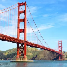
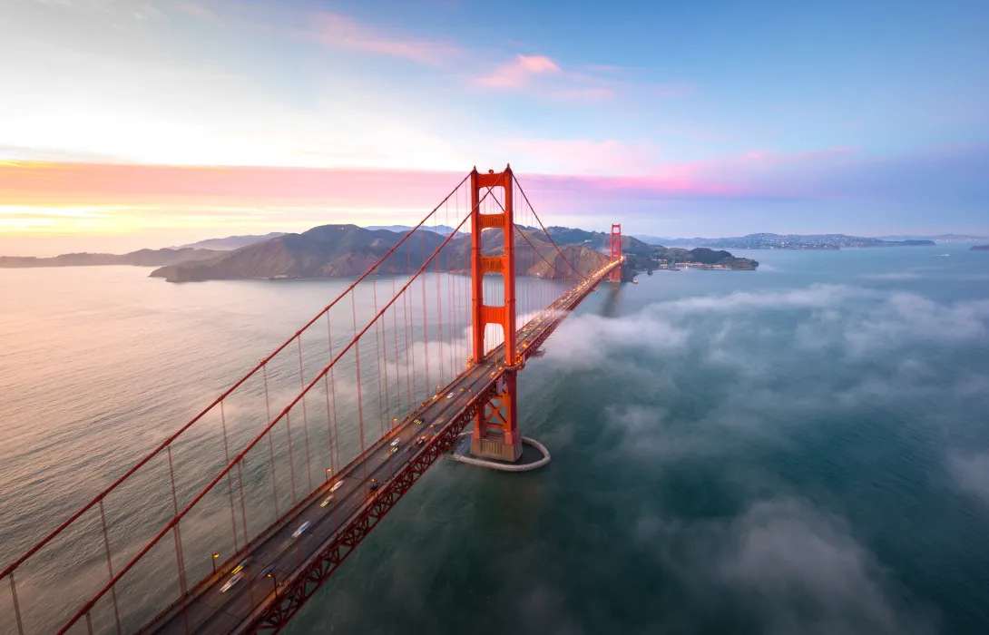
The iconic Golden Gate Bridge carries US 101 between San Francisco and Marin counties. It features six lanes with variable lane configuration for traffic flow and provides separated pathways for bicycles and pedestrians. All tolls are collected electronically in the southbound direction into San Francisco.
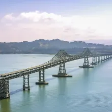
The Richmond-San Rafael Bridge, on I-580, connects Richmond in Contra Costa County with San Rafael in Marin County. The bridge features a separate pathway for bicycles and pedestrians. All tolls are collected electronically in the westbound direction.
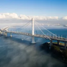
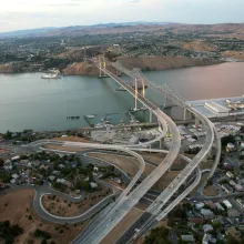
The San Francisco-Oakland Bay Bridge, on I-80, links San Francisco and Oakland. It consists of two major spans: the eastern span, which features a protected bicycle and pedestrian path to Yerba Buena Island, and the western suspension span, which is reserved for vehicles only. All tolls are collected electronically in the westbound direction into San Francisco. Construction may affect access to Treasure Island.
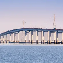
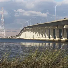
The San Mateo-Hayward Bridge on State Route 92 crosses the Bay between San Mateo and Hayward in Alameda County. There is no bicycle or pedestrian access on this bridge. All tolls are collected electronically in the westbound direction.
FasTrak® is your all-in-one solution for using and paying for Bay Area tolls, and is required on all Bay Area Express Lanes. Sign up today!
Join the Bay Area’s carpooling and vanpooling community to unlock savings, exclusive rewards and a faster, more enjoyable commute.
Discover how express lanes can help you beat Bay Area traffic with a faster, more convenient commute.