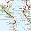
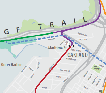
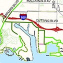
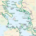
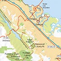
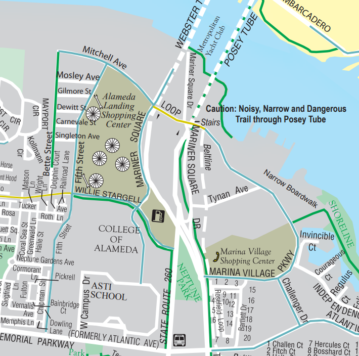
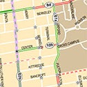
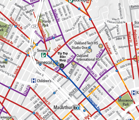
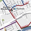
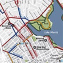
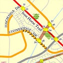
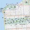
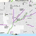
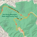
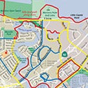
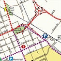
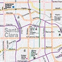
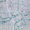
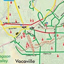
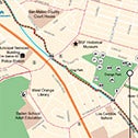
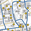
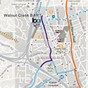
Biking Maps & Trails
Discover the Bay Area’s extensive network of bike trails and routes. Whether you’re planning a scenic ride or commuting on city bikeways, we’ve gathered maps from across the Bay Area to help you navigate.


See Also
Guaranteed and Emergency Ride Home Programs
If you use public transit, carpool or other alternative transit, know you can get home safely if the unexpected happens.
Bay Area Commuter Benefits Program
Learn how the Bay Area Commuter Benefits Program can help you save on your monthly commuting expenses.
Transit Alerts
Get up-to-the-minute updates on traffic incidents, road closures, transit disruptions, and roadway construction projects.